VR MAPS
 |
||||||
 |
||||||
 |
||||||
|
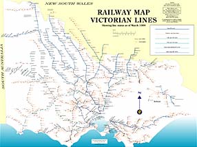
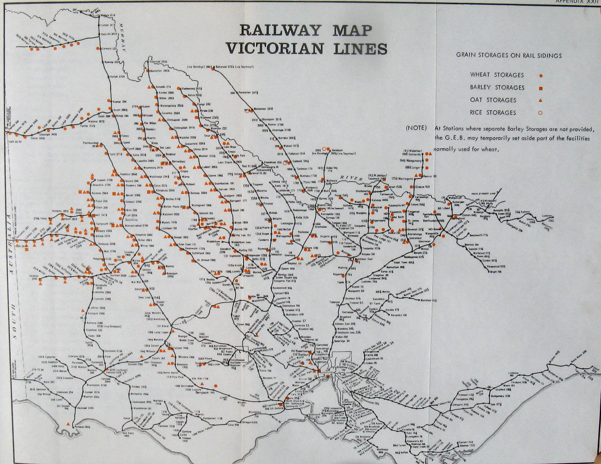
Download my VR map! It is 1.3MB in size and at 100% will print approx 20 inches by 15 inches. This map shows all country lines and all country stations. Using Acrobat Readers's search feature you can find any location on the VR system. It shows track gauge, gauge conversions, closed/open status, lots of info. A suburban map is being prepared as time permits. Many thanks to Chris Wurr for help in preparing this map.
|
||||||
|
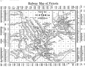
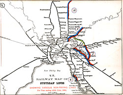
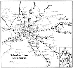
This is an official VR map from 1957. I have not attempted to clean this map up at all so it is presented "as is"
(It is 942 kb) in size |
||||||
 |
||||||
 |
||||||
|
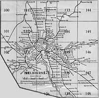
This is a 1947 VR map
it is 864 KB |
||||||
|
|
||||||
Click on ANY map to start downloading
| Both maps are in .pdf format, you will need Adobe's Acrobat reader to view them, if you don't have Acrobat Reader you can download it for free by clicking on the icon below. |